Gran Tsina Ridge
Also known as Gran Tsina Trail
A high plateau named after the Chinese traders who once sheltered in Concepcion Bay, and where Ming-dynasty porcelain was found in the 1970s.
About this place
Gran Tsina takes its name from the Chinese who traded with the island’s early inhabitants, or who dropped anchor in Concepcion Bay to shelter from storms.
Chinese records refer to Mindoro, and sometimes the whole archipelago, as “Ma-yi”, “Ma-i” or “Ma-it”. In Asi, the island’s language, “ma-it” is the word for the habagat, the south-west winds of July to October. That was the season Chinese junks favoured for sailing from China’s eastern coast to the Philippines.
In the 1970s, porcelain jars dating to the Ming dynasty, called tibor in Asi, were found at Gran Tsina. Treasure hunters carried most of them away.
Visitor notes
- Hike with a local guide. Ask the Municipal Tourism Office about the trail.
- If you find anything that looks like an artefact, leave it in place and report it to the municipality.
Photos of Gran Tsina Ridge
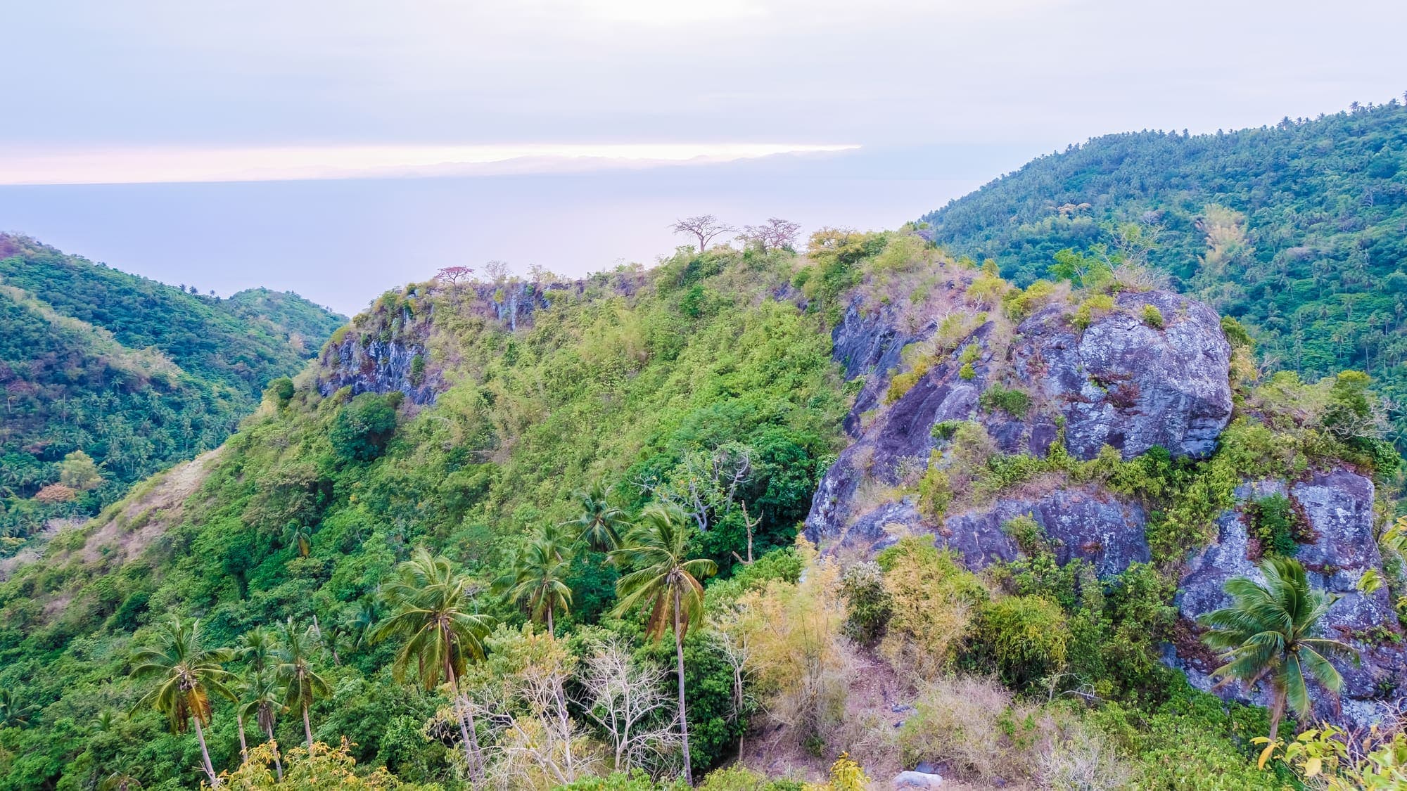
Rugged limestone outcrops of Gran Tsina Ridge rising from green forested slopes Gran Tsina Ridge with rocky crags and the sea and a small island beyond A narrow rocky ridge trail running down the spine of Gran Tsina through grass and shrubs
More to discover
ViewpointsNear Poblacion
Bagulayag Cliff
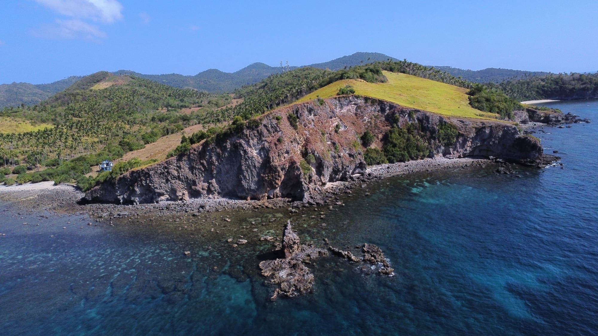
A sheer, 50-metre rock wall above the sea, crowned with cogon grass and looking out over Banton Pass and the Tablas Strait.
Discover more