ViewpointsNear Poblacion
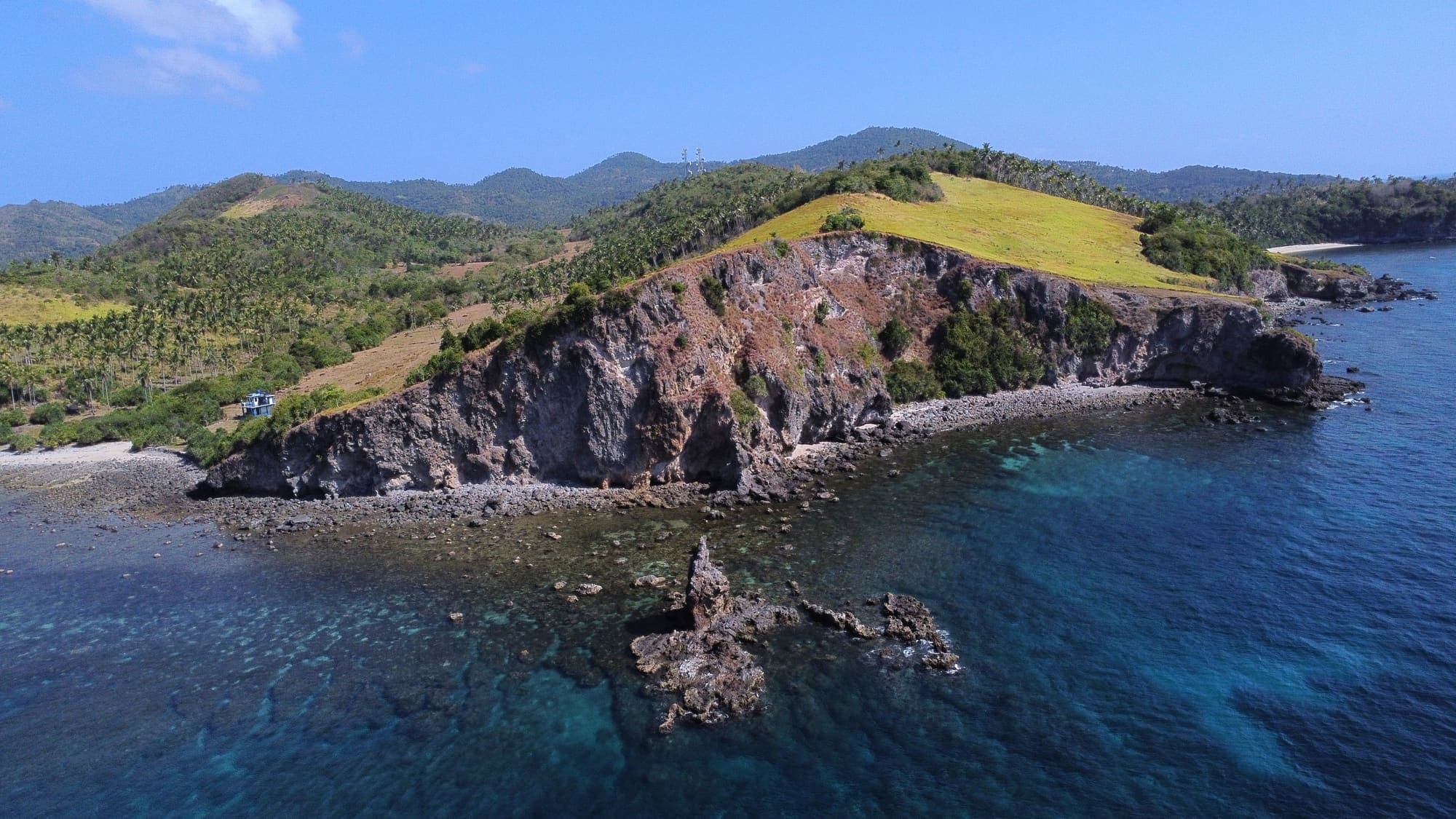
Bagulayag Cliff
A sheer, 50-metre rock wall above the sea, crowned with cogon grass and looking out over Banton Pass and the Tablas Strait.
Discover more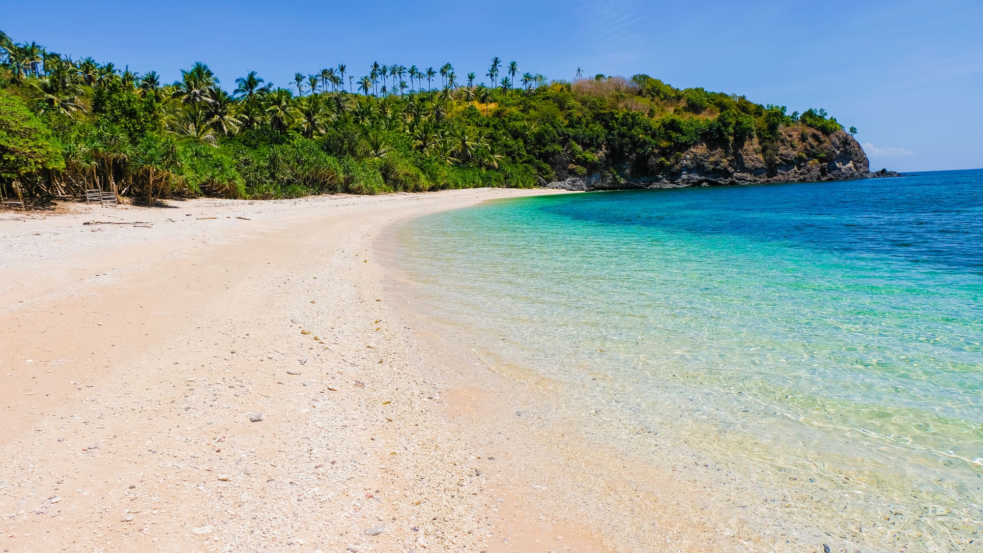
Destinations
On the island
Descriptions from the Concepcion Convention and Visitors’ Office and the LGU Profile.
12 places
Details to confirm: ask the Tourism Office about access before you go
ViewpointsNear Poblacion
A sheer, 50-metre rock wall above the sea, crowned with cogon grass and looking out over Banton Pass and the Tablas Strait.
Discover more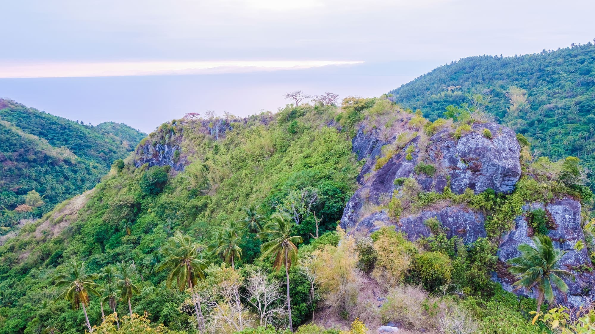
Viewpoints
A high plateau named after the Chinese traders who once sheltered in Concepcion Bay, and where Ming-dynasty porcelain was found in the 1970s.
Discover more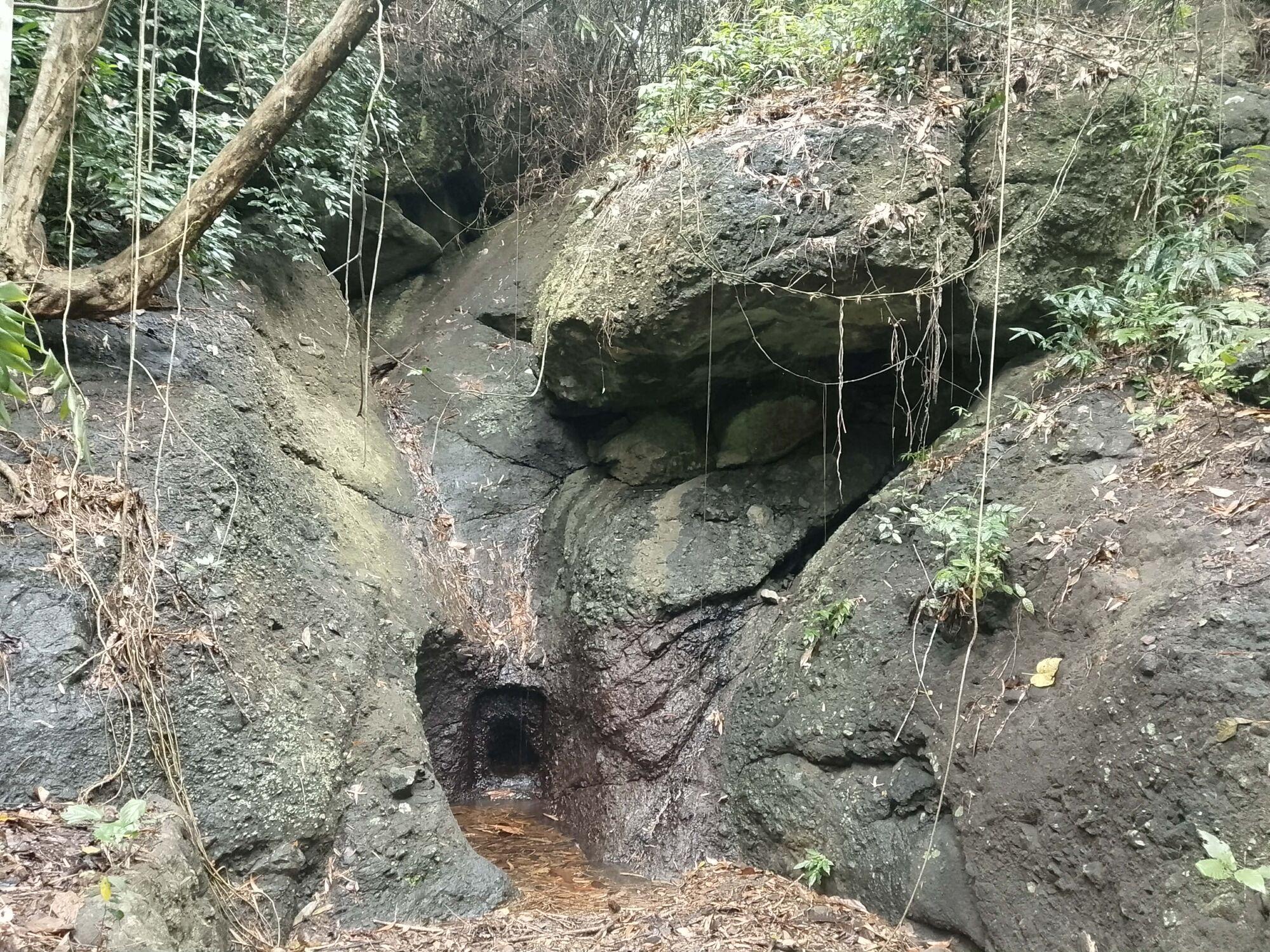
HeritagePoblacion
A rock carved in Spanish times beside a vanished waterfall, and the story behind one of Sibale’s oldest place names.
Discover more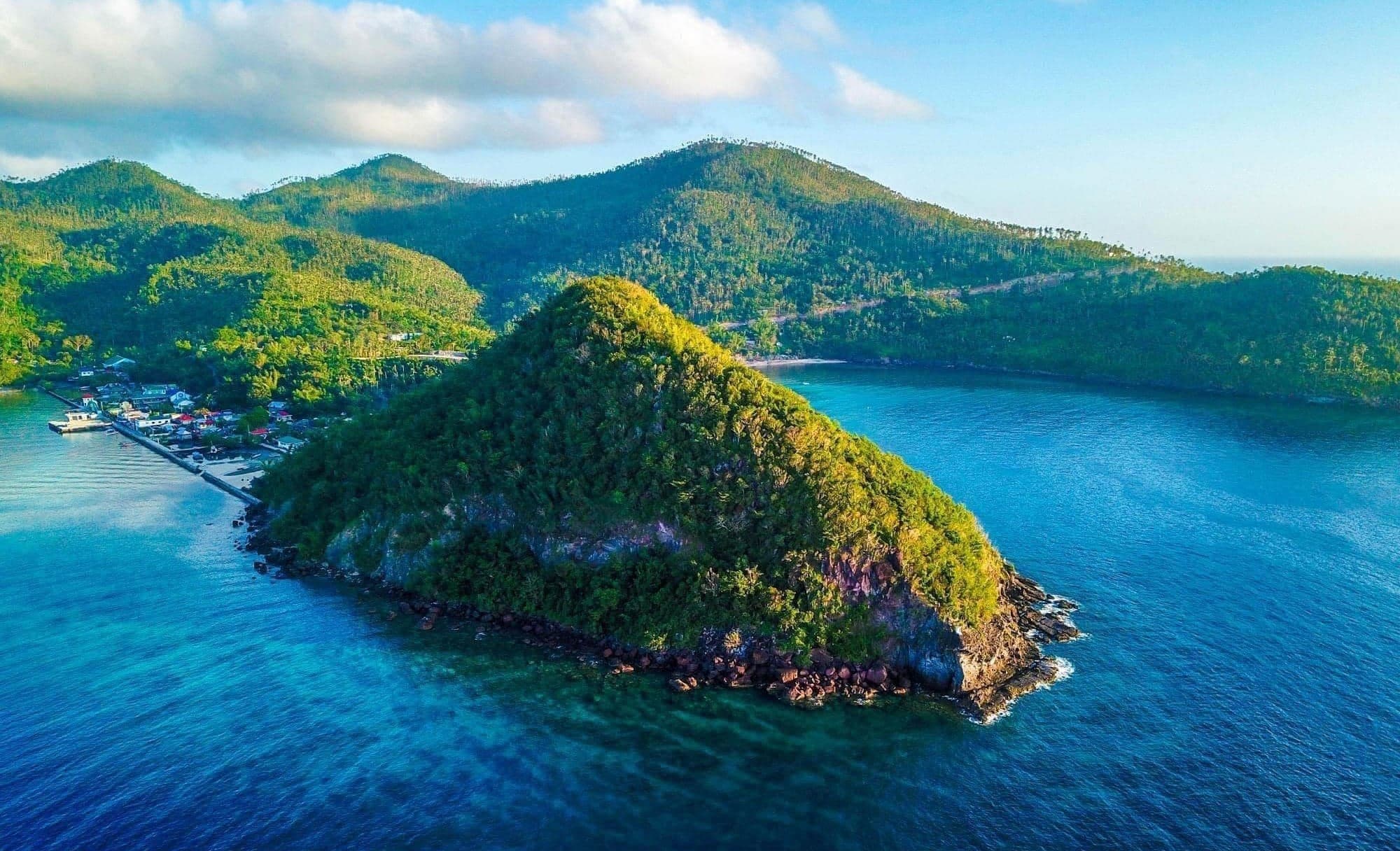
NatureConcepcion Bay
The 100-metre sentinel at the mouth of Concepcion Bay, home to coconut crabs, birds and monkeys, and watched over by an image of the Immaculada Concepcion.
Discover more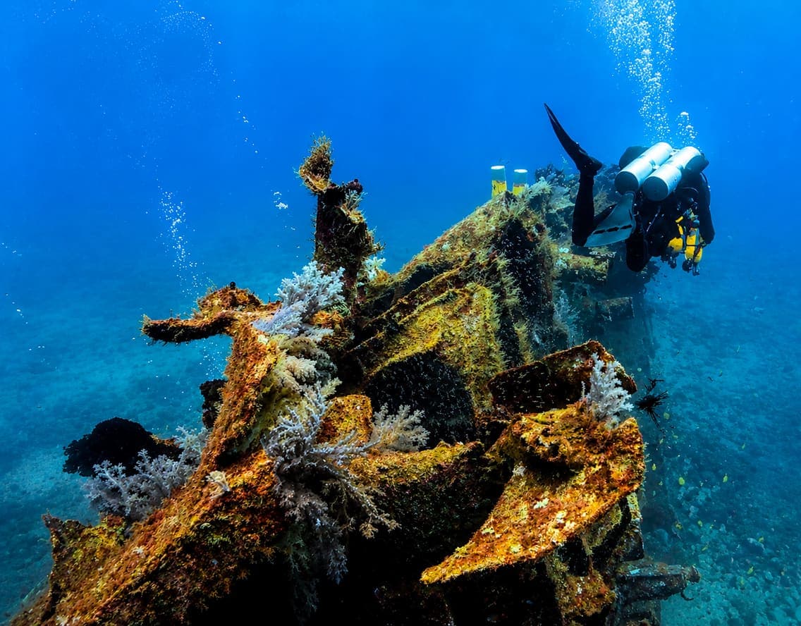
MarineOff Masudsud
The wreck of the passenger ship M/V Mactan, lost in 1973 and now a protected dive site alive with fish.
Discover more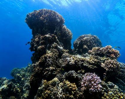
MarineOff San Vicente
The most famous of Sibale’s 15 dive sites: a towering coral formation a few hundred metres off Sitio Batwanan.
Discover more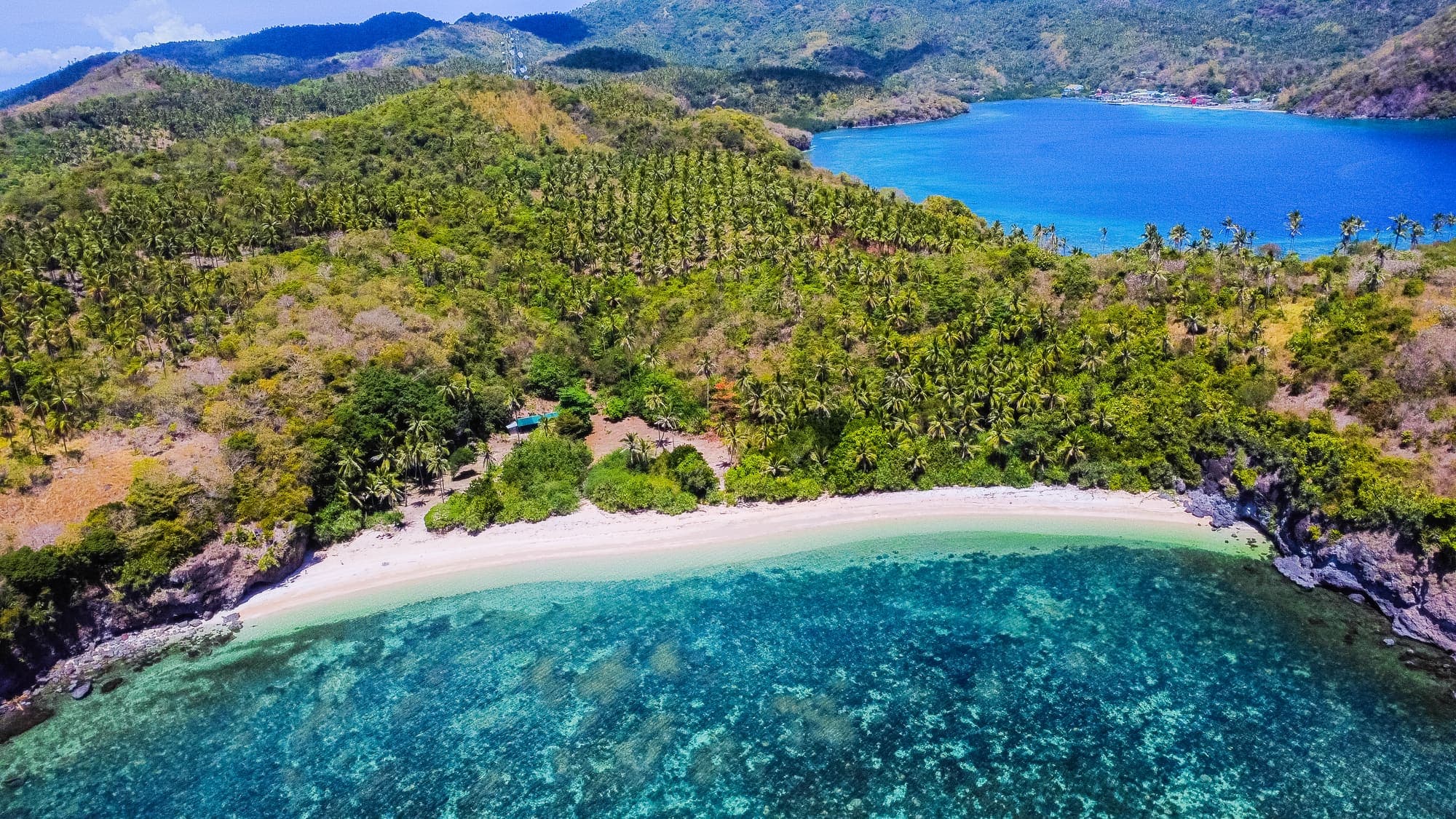
Beaches
Half a kilometre of powdery white sand where endangered sea turtles come ashore to nest, now a protected marine sanctuary.
Discover more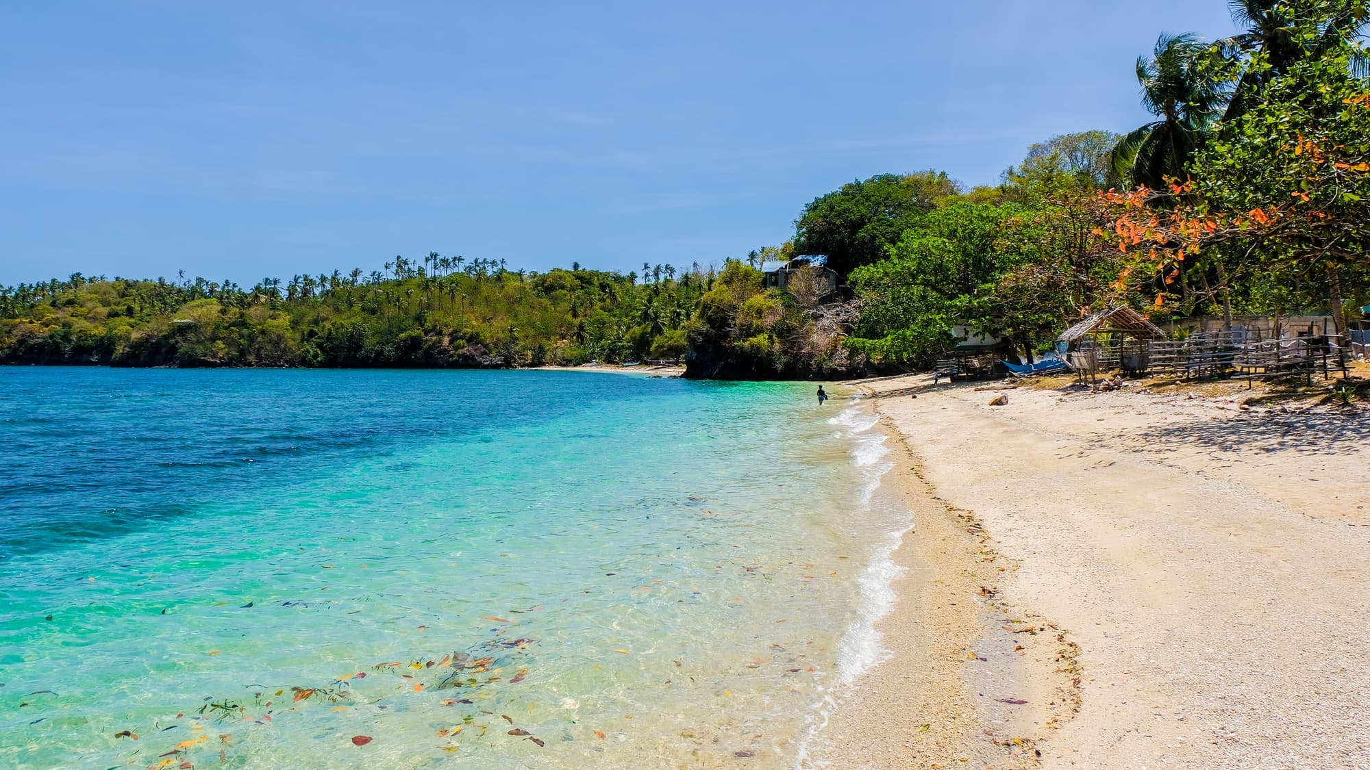
BeachesConcepcion Bay
Powdery white sand and clear turquoise water facing Mount Batariya across Concepcion Bay.
Discover more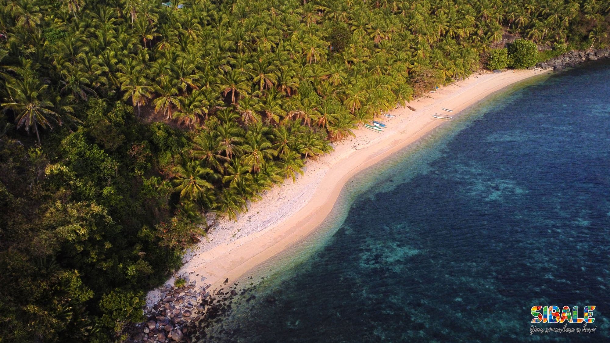
Beaches
A long, clean curve of white sand where coconut groves meet a wide, clear reef.
Discover more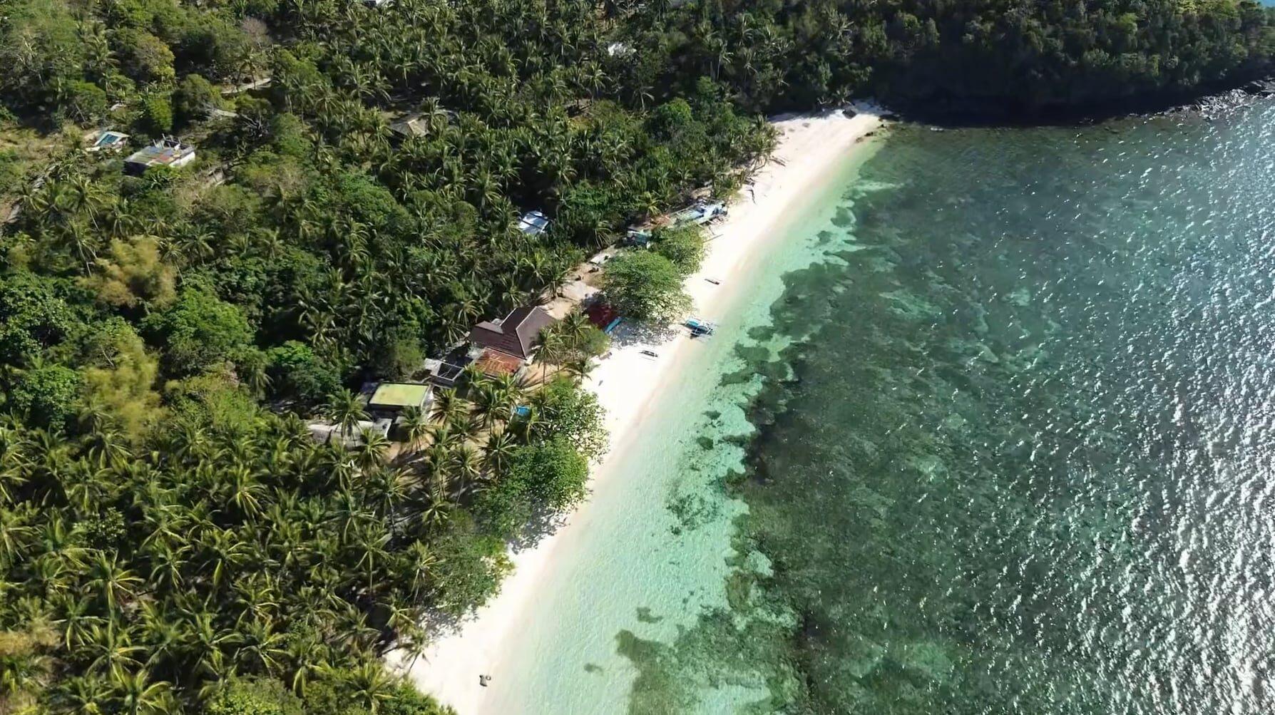
Beaches
A quiet beach reached by motorcycle from the Poblacion, which travellers count among the island’s best.
Discover more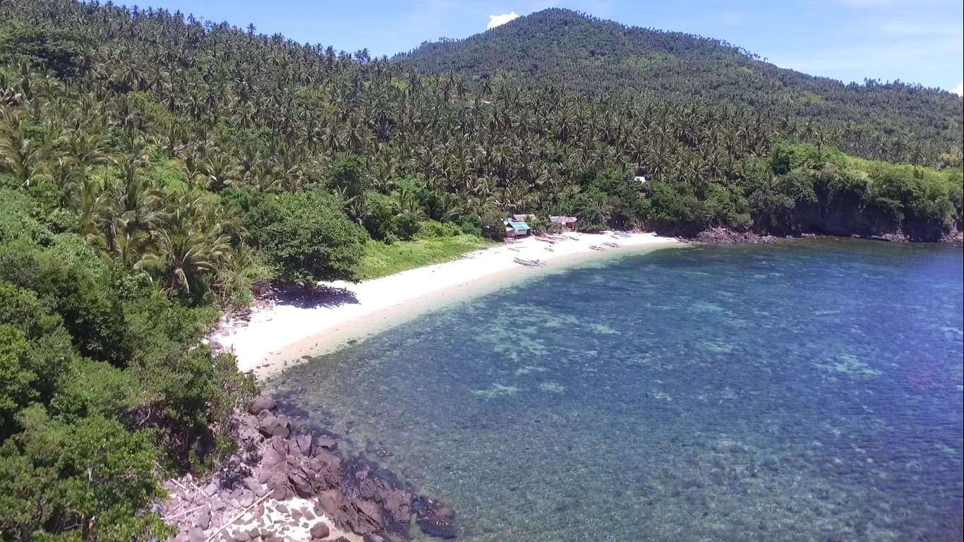
Beaches
A white beach set inside a protected fish sanctuary, where only handline fishing is allowed.
Discover more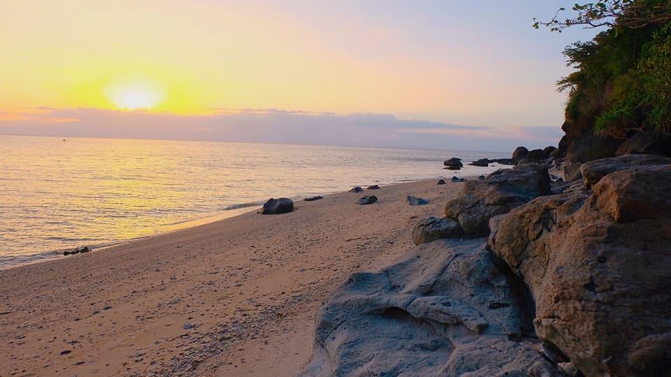
Beaches
A long, quiet sweep of sand and dark rocky points where the sun sets over the sea.
Discover moreMap
Show on map
Natural attractions: no verified listings yet. The Municipal Tourism Office will add these.
Accommodation: no verified listings yet. The Municipal Tourism Office will add these.
Dining: no verified listings yet. The Municipal Tourism Office will add these.
Dashed ring = approximate location